Ngami Data Services G.I.S Services
|
Definition of G.I.S
G.I.S (Geographic Information System) is a process that allows for the collection and storage of any geographically related data, the conversion of this data into a digital format and then the processing, manipulation and analysis of the data through different computer processes. This processed information can then be presented or examined in a number of different ways – statistically, visually or geographically. A GIS can provide the ability to compare multiple data sets simultaneously or very different types of data sets and it can examine temporal (time related) and spatial relationships within the different data sets. In the simplest terms, GIS is the merging of cartography, statistical analysis, and database technology. GIS has now come of age and is a powerful management tool providing an incredible variety of real-world applications facilitating management, educational and research decision making. |
|
G.I.S Related Services Available:
· Raw Data Collection, Capture and Collation
· Databases development and design
· Data Analysis
· Design of Data output and/or presentation
· Data and Imagery from NDS Information Library
· Creation and production of data maps
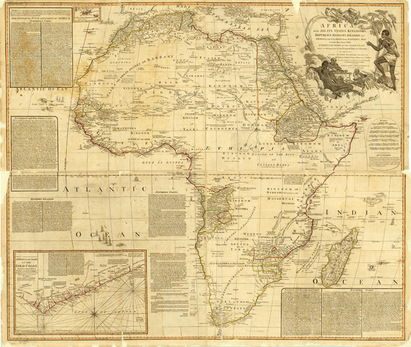
· Cartographic Services
Custom map creation, design and production
· Map reproduction
· High quality graphic printing of Maps
· Raw Data Collection, Capture and Collation
· Databases development and design
· Data Analysis
· Design of Data output and/or presentation
· Data and Imagery from NDS Information Library
· Creation and production of data maps
· Cartographic Services
Custom map creation, design and production
· Map reproduction
· High quality graphic printing of Maps